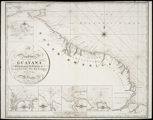
A new chart of Guyana :, comprehending the Colonies of Cayenne, Suriname &...
- Titel A new chart of Guyana :, comprehending the Colonies of Cayenne, Suriname & Trinidad /, by W. Heather ; drawn by J. Norie teacher of navigation No. 157 Leadenhall Street ; J. Stephenson, Engraver.
- Materiaal kopergrav. ;
- Auteur Heather, William,, 1790-1812 fl.
- Stephenson, J.,, ca1780-ca1830 fl.
- Norie, J.W., 1772-1843.
- Uitgever London :, W. Heather#at the Navigation House, No. 157, Leadenhall Street#,
- Datering 1816.
- Omvang 1 kaart. :
- Afmetingen 63,5 x 78,5 cm
- Schaal Schaal [ca. 1:2.200.000].
- Signatuur OTM: HB-KZL 100.15.03
- Identifier hdl:11245/3.38562
- Type MP
- Persistent Identifier https://hdl.handle.net/11245/3.38562
- Editie A new edition /, revised & corrected by J.W. Norie.
- Annotaties Published as the Act directs, Jan. 12th 1811.
- Schaalstokken: "English and French Miles 60 to a Degree", en: "Duytche en Danish Mylen 15 in een Graadt."
- Bib 990009591370205131
- Trefwoord Kusten.
- Groot Guyana.
- Literatuur Vgl. Koeman, Bibliography printed maps Suriname , no. 328, 329
- Identifier hdl:11245/3.38562